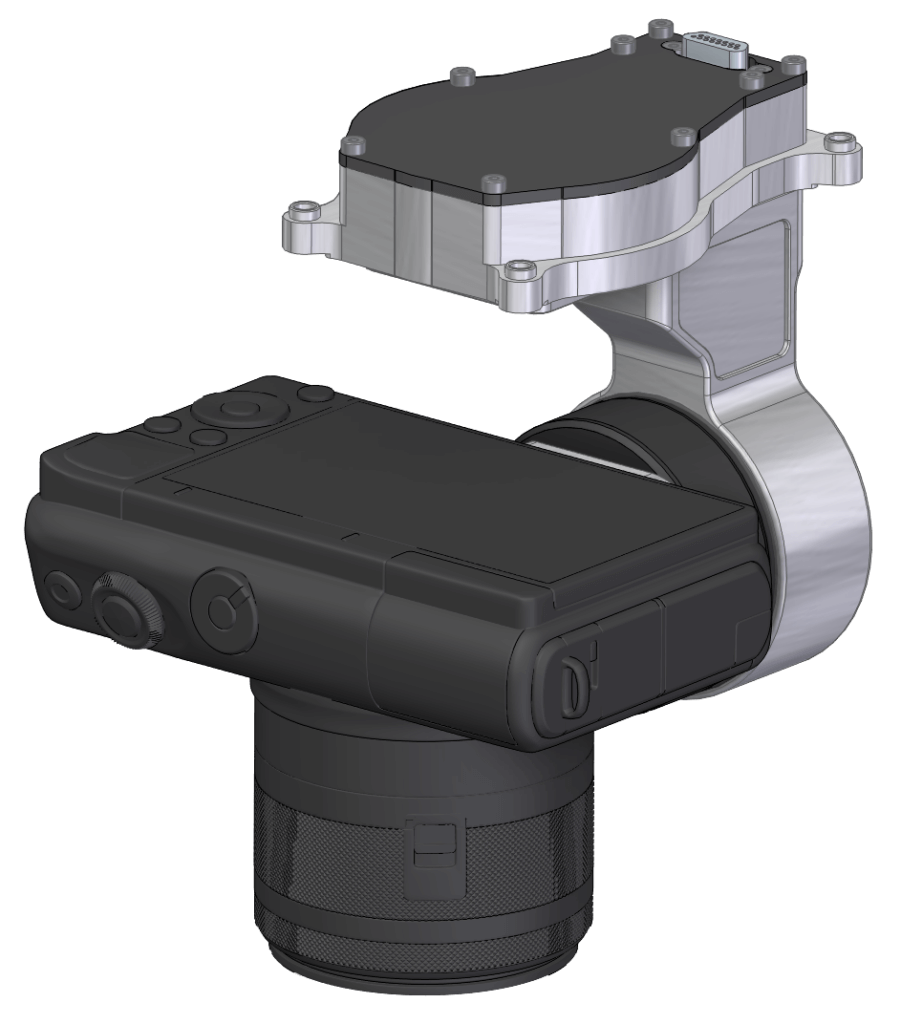
AMP1
High resolution gyrostabilized aerial mapping payload for various photography and mapping applications.
– High resolution geo referenced still images
– Selection of best cameras and lenses
– Operations made simple using our bespoke software
– Compatible with most stitching programs and photogrammetry software
Threod Systems Aerial Mapping Payload allows running high precision mapping tasks with mini-UAV or multirotor drones. Payload is plug-and-play solution while integrated to Threods’ aerial vehicles and autopilot.
Ground Control Station user interface allows autonomous flight pattern creation by drawing a box over the target area. System calculates the best altitude, speed, mapping density according to the user requirements.
User interface allows easy image extraction of the specific area of interest by selecting an area on the map. That allows fast working cycle, if immediate image extraction is needed – no need to wait until full image merge.